The Gospel Oak to Barking (GOBLIN) Overground line is about to have some major work done to it so that instead of it being diesel, it will be an electric line, and then longer electric trains will run on the branch.
In order for this work to happen though, there is a staggered closure taking place, and we don’t think the way that the publicity has been done is here is very clear. It focuses on what is closed rather than what is open, meaning that your brain has to stop and think harder to work out the reverse of what they’ve told you (what’s not working) for you then to realise what is working.
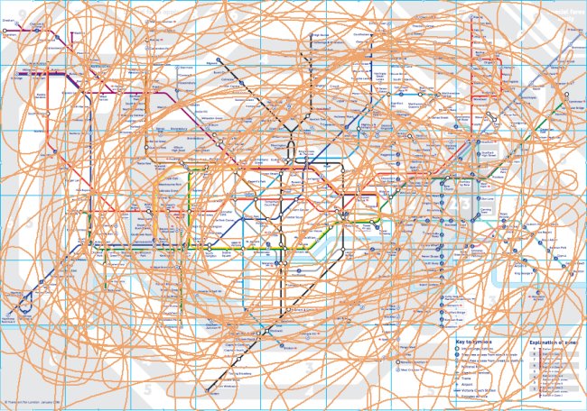
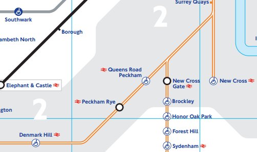
Here’s what the TfL page shows you:
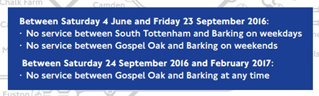
GOBLIN Closure
See how quickly you can work from that what is open, and not closed!
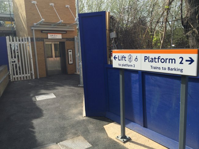
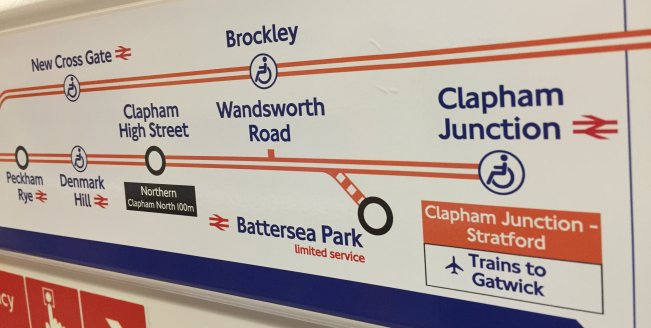
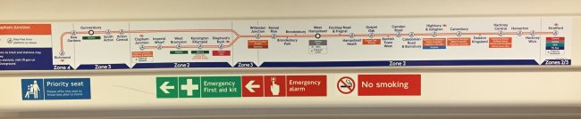
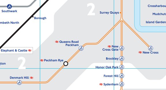
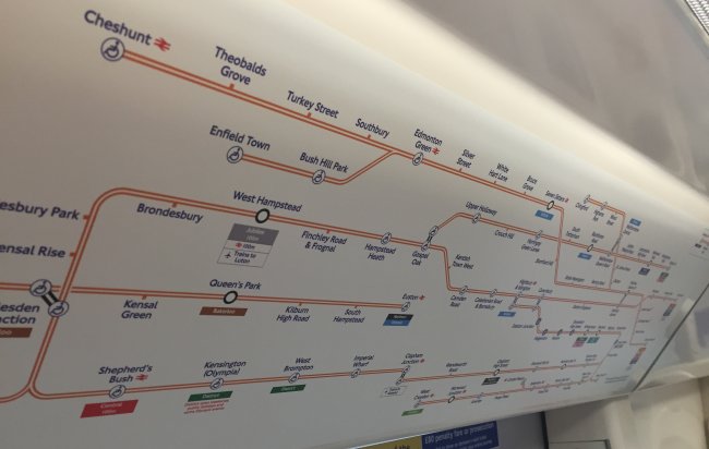
Similarly confusing signs appear at stations along the line itself, as well as on the new June 2016 Tube Map which is about to come out where the dreaded ‘daggers’ make an appearance and you have to refer to the key to try and figure out what it means.
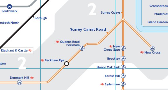
Instead, we’ve come up with our own simple graphic showing what is open which we think is much easier to understand at a glance.
Any chance TfL, of doing something like this in future?
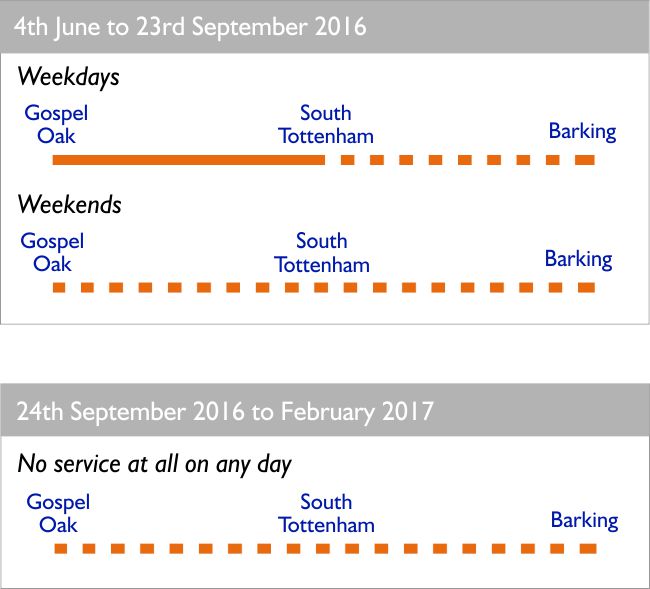
Easier to Understand